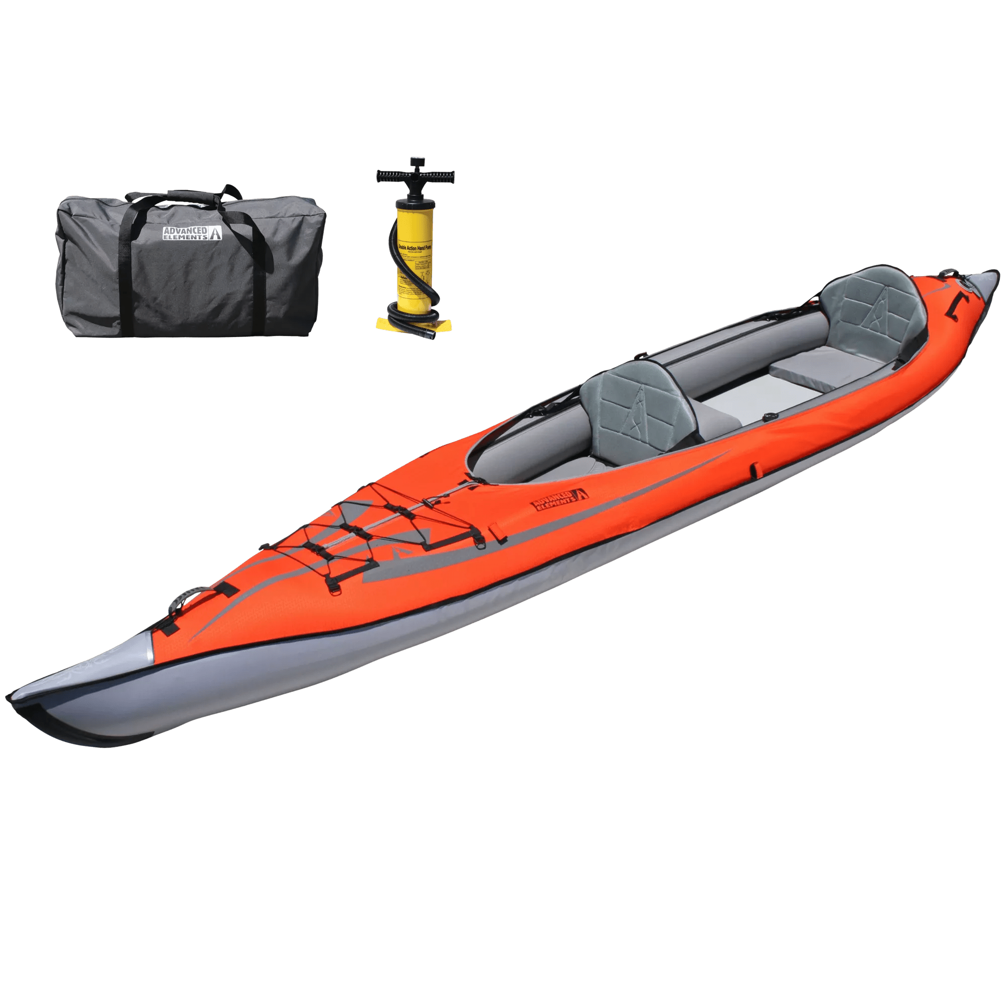
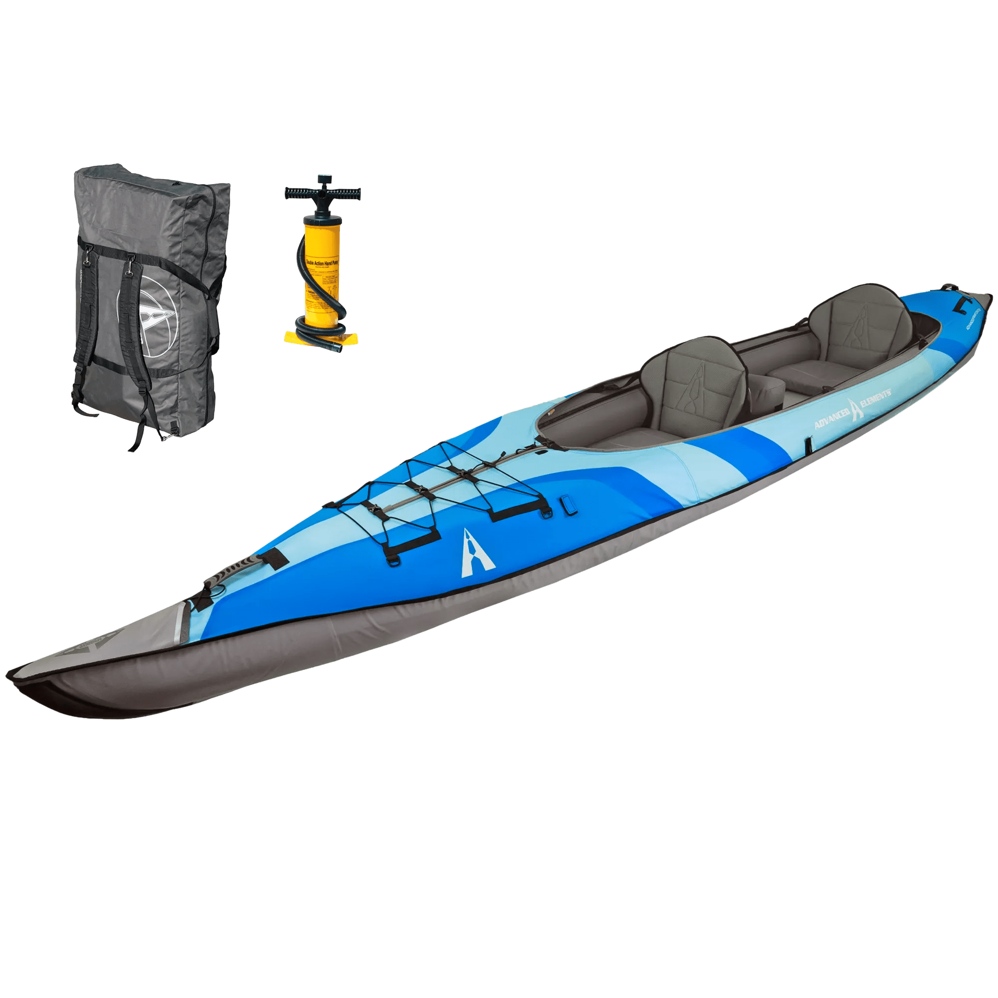
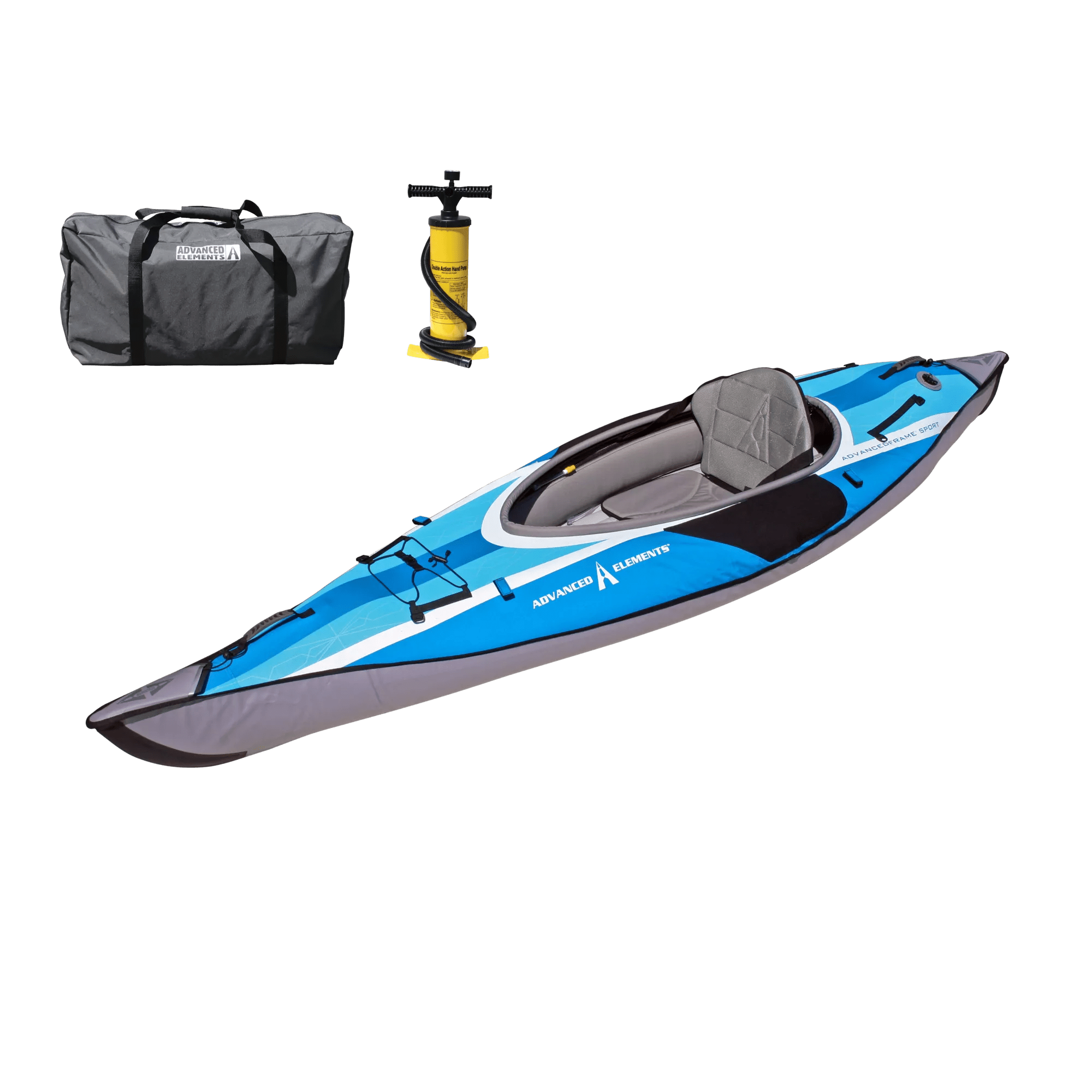
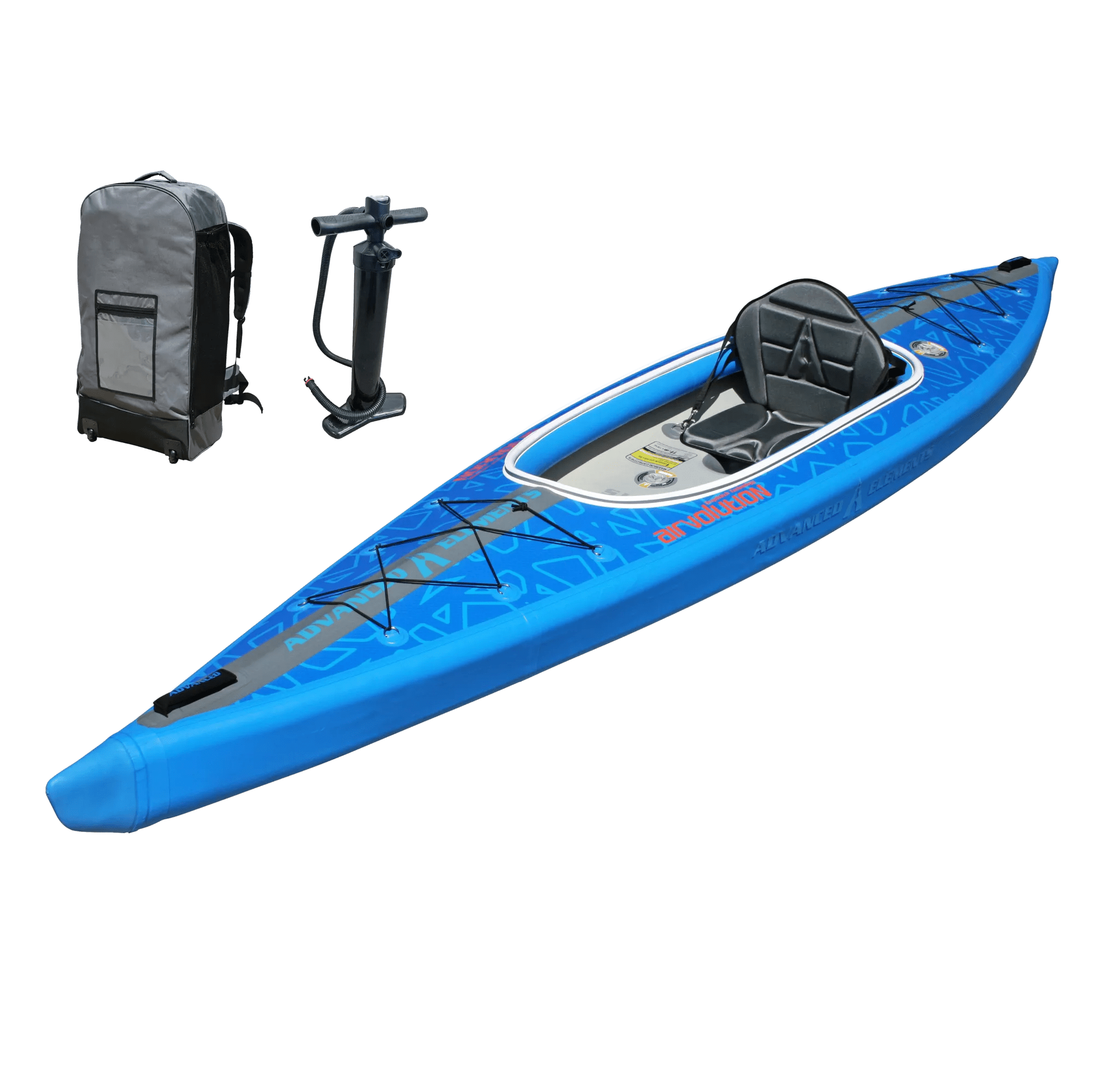
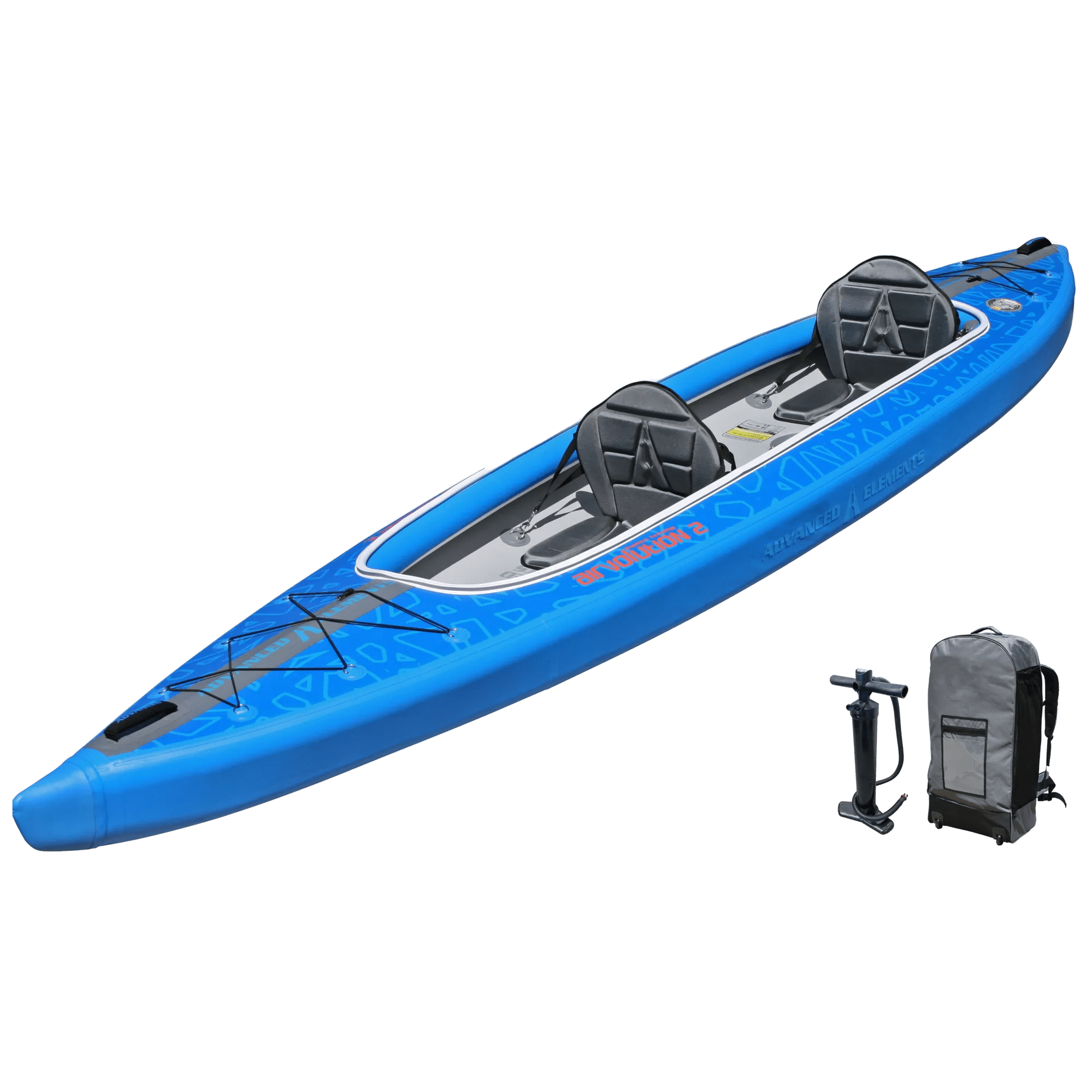
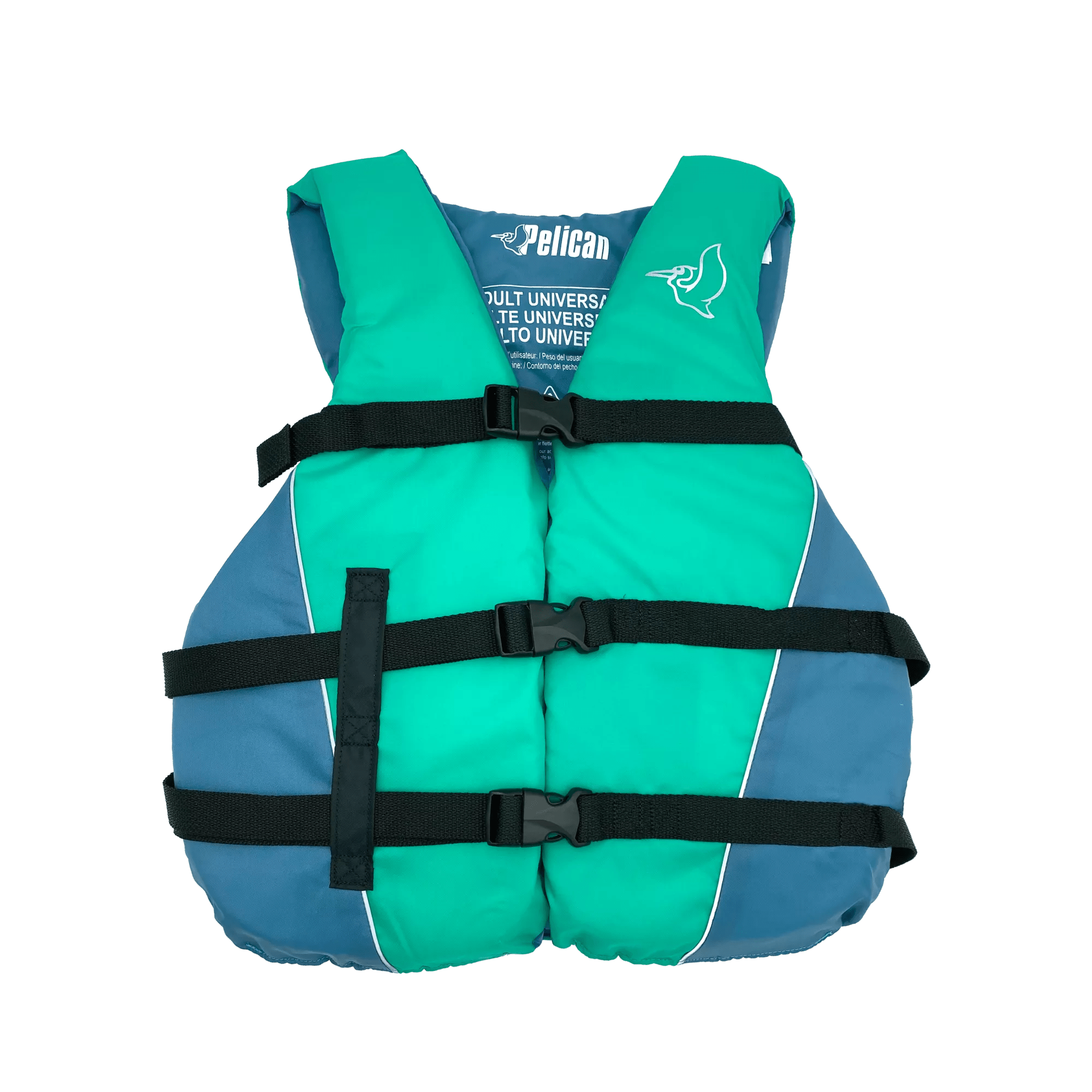
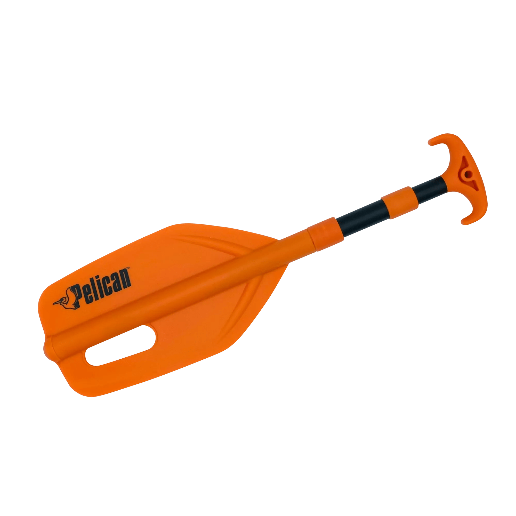
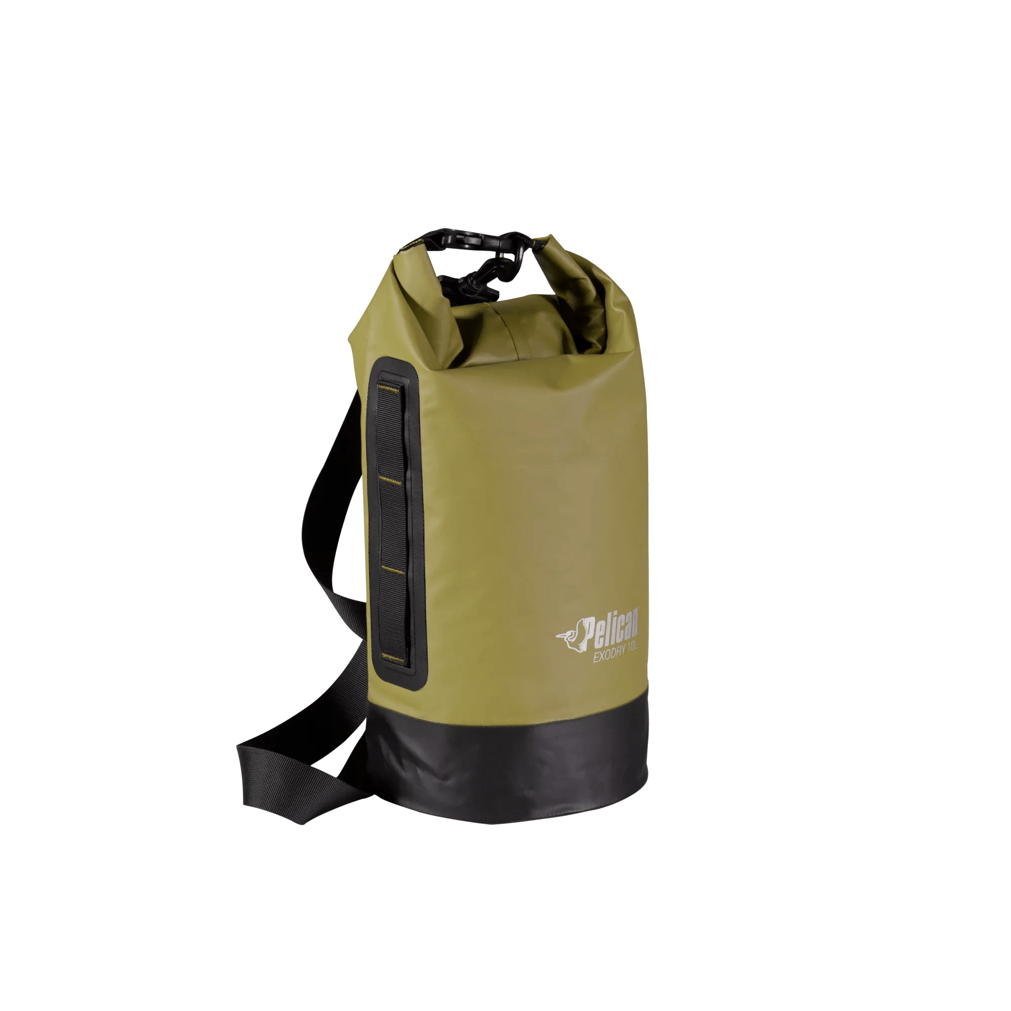
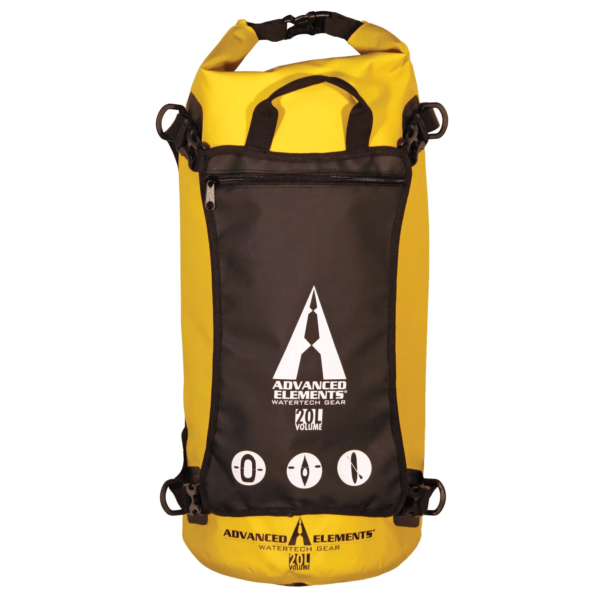
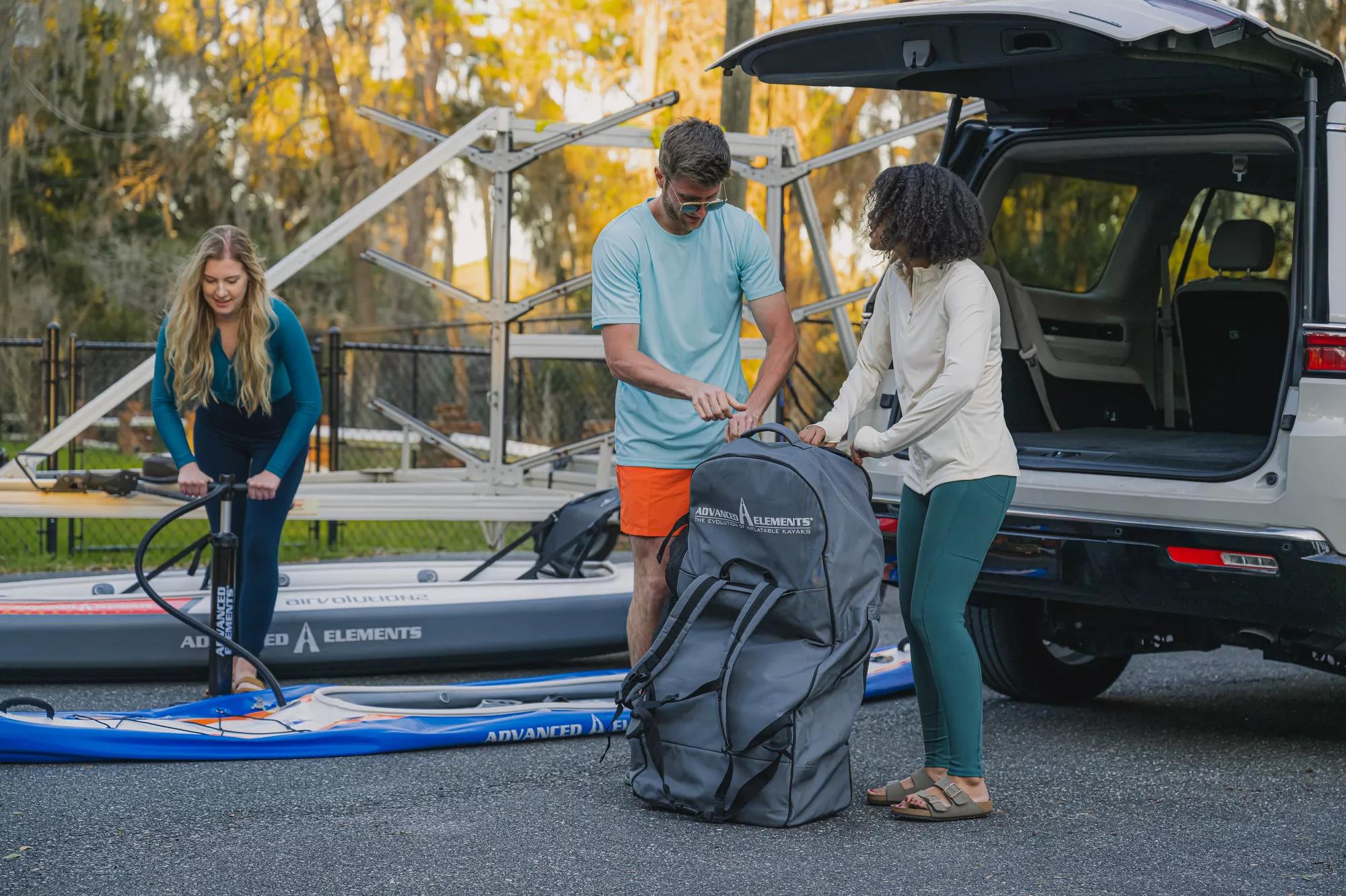
I did a search on here, and couldn't find much information about gps units, so I thought we might want a central location to deal with the issue. I hope everyone will state the gps unit that they or their friends use, and maybe the one they wish they had. If you have any additional information about the features you like/use the most on your gps, that would be great to read also.
Daddy-O
Which gps do you use / like?
Moderator: JCOOLEY
I hope it's okay to do this, but I'm going to post a reply slurch made to this question I posted about gps units in a different thread (I thought it was good):
"I guess your funds are limited having just bought all the kit, but I use a Garmin GPSmap 60CSx loaded with Garmin charts and it is absolutely perfect. If you want to get something less expensive any of the Garmins which take memory card maps would be suitable. If you buy something that can not take charts in 6 months time you will almost certainly want to upgrade. The other advantage of buying a GPS which you can load maps onto means you have a SAT Nav for the car." - slurch
Now, let's hear from you other veterans that use (or have friends that use) gps units on the water.
Daddy-O
"I guess your funds are limited having just bought all the kit, but I use a Garmin GPSmap 60CSx loaded with Garmin charts and it is absolutely perfect. If you want to get something less expensive any of the Garmins which take memory card maps would be suitable. If you buy something that can not take charts in 6 months time you will almost certainly want to upgrade. The other advantage of buying a GPS which you can load maps onto means you have a SAT Nav for the car." - slurch
Now, let's hear from you other veterans that use (or have friends that use) gps units on the water.

Daddy-O
-
- Posts: 22
- Joined: Thu Jul 03, 2008 10:01 am
- Location: Vancouver
I have a Garmin Etrex Venture HC, which is a pretty basic unit, but inexpensive. Colour screen, no memory card (24 mb internal) and the newer high sensitivity receiver. I loaded the Garmin bluechart software and I find it very handy, although the topographic maps give a very usable shoreline map. The base map that comes with the unit is useless.
A couple of times I've had to stare at it to figure out where I was in relation to the map, but otherwise it's been easy to use and very handy. I really like it. I also have a gps for the car and I think they're different animals. A handheld gps for kayaking is not so easy to use navigating a car.
I really thought we would get several suggestions on these gps units from the outdoorsy folks on here. I was looking at this one: http://www.amazon.com/Garmin-GPS-72-Han ... B00006J6SA . I got a great deal on a new one (less than half the listed price) on ebay. It seems to have all of the basic features that I am looking for at this point, and was very inexpensive.
I hope that other people will still post their experience with gps's and their suggestions as to what units might be the best for the buck.
Daddy-O
I hope that other people will still post their experience with gps's and their suggestions as to what units might be the best for the buck.
Daddy-O
Last edited by Daddy-O on Sun Dec 14, 2008 6:09 pm, edited 1 time in total.
I use a Garmin GPSmap 76c -- had it four or five years. Does everything I need it to do. The Garmin Mapsource maps work OK for me so far -- based on comments from other places, I've not purchased the Bluewater maps. I agree that the base maps are not very useful.
The most used feature is "Go To" a waypoint, and then watching the time, distance, ETA, and other parameters change as I progress along a route. Especially informative when paddling through adverse current or wind.
One of the features I like best is the ability to plot a Track either by distance (as short as 52 feet) or time (as short as ten seconds).
GPS Mounting solution
Has anyone made a bracket to hold a GPS on the front deck in front of the cockpit on an AE kayak?
I was thinking of mounting a RAM mount https://www.ja-gps.com.au/RAM/ram-b-238/ on a small piece of wood, fastened to a square of neoprene somehow held onto the deck by bungees or straps going to the D rings.
I was wondering if anyone had a better solution.
I was thinking of mounting a RAM mount https://www.ja-gps.com.au/RAM/ram-b-238/ on a small piece of wood, fastened to a square of neoprene somehow held onto the deck by bungees or straps going to the D rings.
I was wondering if anyone had a better solution.